Google Maps is Online and in 3D

A few days after the possible announcement by Apple of ‘ Farewell to mapping services targati Google, the Mountain View giant announces important news related to your Google Maps : the company has submitted the next features coming soon, which range from the ability to get maps in offline mode on Android also the introduction of new roads within the database View Street, passing also through the implementation of new more accurate 3D maps (here all pictures of the new version ).

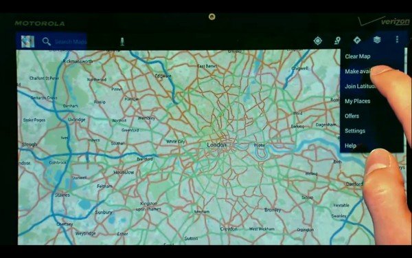
After having experienced the effectiveness for several months through the feature “beta” of Maps, then, engineers have found that giant research tool for downloading portions of maps has reached a sufficiently mature to be able to allow the ‘ use the entire audience, allowing it to download a detailed map of any region of the world to use it offline . Once downloaded to your terminal Android, the operation of the map follows exactly what characterizes the use of online services, with the possibility of using the GPS for navigation and make zooming in and zooming-out without having to provide a connection to the Internet.

One of the goals of the group, then, is to enrich the database of images available for Street View, and even where it intends to reach its Google Car has been advancing. From Mountain View comes news of a special backpack fact enriched by a variety of accessories including a high-resolution camera with which you can capture areas not accessible by car , in place of traditional cars, in fact, some early Google employees patrolling areas of the world not yet explored by the company, backpacker, allowing users to relive those places while sitting at your desk at home.
The latest by Google Earth Maps that covers both: after several years of analysis and design, in fact, the company is poised to launch a 3D mapping service that is sufficiently detailed and complete as to revolutionize the entire industry. With images taken from different angles by the engineers are then able to create three-dimensional models of the areas captured, then implementing them in suitable maps to help you achieve a much higher quality than offered to date by the giant California.
Shortlink:

One Response to Google Maps is Online and in 3D